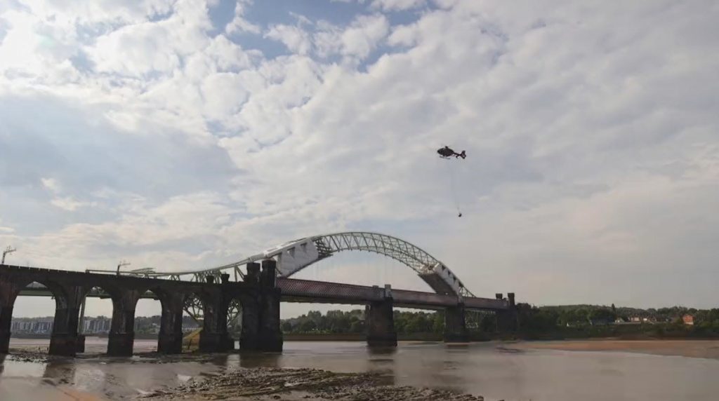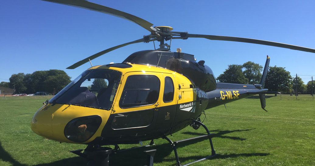
Hundreds of feet in the air, Network Rail employees are making a complete photographic record of the Scottish railway.
From Perth to Inverness and Glasgow to the Highlands, a camera fitted beneath a helicopter takes a picture every three seconds, capturing invaluable information for our teams on the ground.
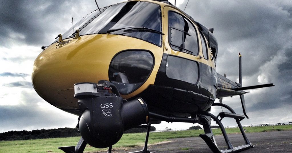
The re-fly of every route in Scotland is just one example of the enormous contribution Network Rail’s specialist air operations team of just seven staff has made since its launch more than 10 years ago.
Inspecting the railway by air improves performance, reliability and safety with no disruption to activities on site, or to services for passengers. The images taken in Scotland will be used for essential maintenance of overhead line equipment and for vegetation management and earthworks. They are available to all Network Rail staff to access from their desks and keep boots off ballast, driving efficiencies and smarter working.
The team will return to Scotland this month to help manage a re-fly of LiDAR for routes across the whole country. The LiDAR will survey the routes with a laser scan along each railway line to provide an accurate map of all the conditions on and adjacent to the infrastructure. Network Rail will use the data across the company to prevent issues before they arise.
Chris Ashworth, a national aerial survey specialist, said: “Our mantra is fly it once and use many times.”
New horizons
Paul Lindup, a project manager currently leading the air ops team, said it had kept busy in recent months with new projects such as a new unmanned traffic management (UTM) system, which will be implemented by the end of the year.
This automated system will allow drone pilots to register their flights and gain clearance immediately. The team currently uses a manual system and requires a 10-day turnaround. The new system will enable the team to prevent drones from flying at close proximity without them knowing exactly where each other are.
Network Rail is currently running an expanded in-house drone trial during which it has trained more employees from all areas of the company, from engineers to mobile incident managers, to use the technology.
By early next year, the air ops team plans to launch the hyperspectral sensor project with the air operations aerial specialist surveyors and Network Rail helicopter. Hyperspectral sensors detect light waves and tell us about the properties of plant species and other live organisms.
High-lights
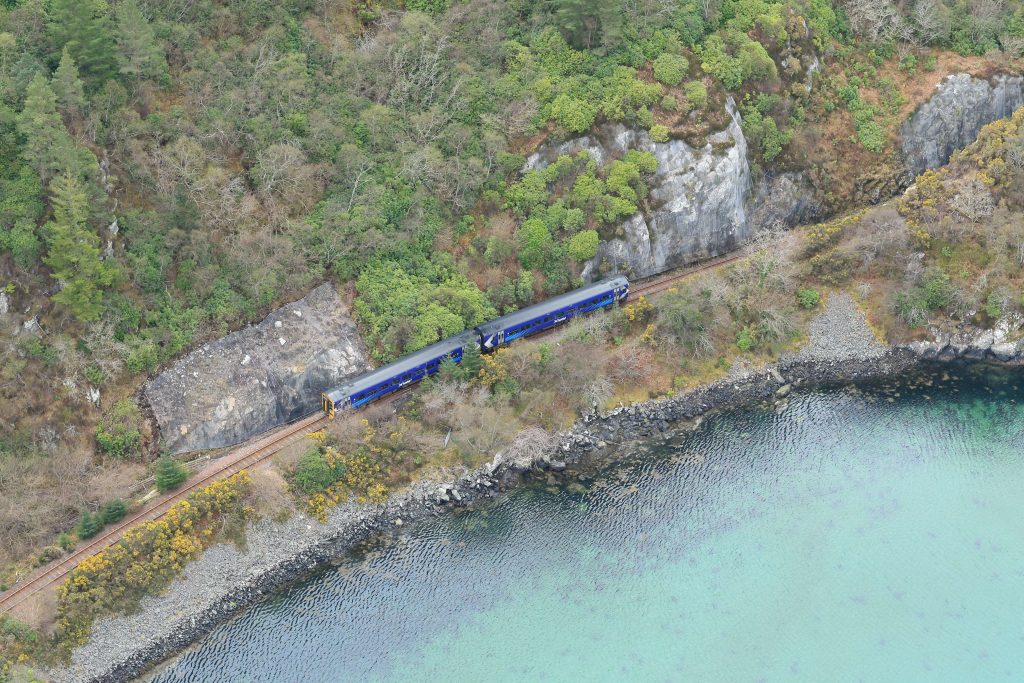
This shot of rock netting on the West Highland line near Kyle, fitted to ensure the stability of cuttings, saved engineers a long drive from Glasgow for a physical inspection.
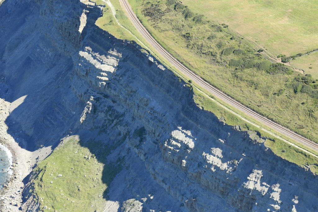
An inspection on the ground wouldn’t have been able to pick up this erosion caused by the sea. This image shows cliff erosion between Saltburn and Skinningrove in the North East – sections of the cliff edges are starting to give way and it won’t be long before the footpath needs to close.
Trained climbers, typically contractors, would usually carry out cliff inspections. Surveys from the sky help keep more people safe and reduce costs.