Inspecting the railway by air improves performance, reliability and safety with no disruption to services for passengers.
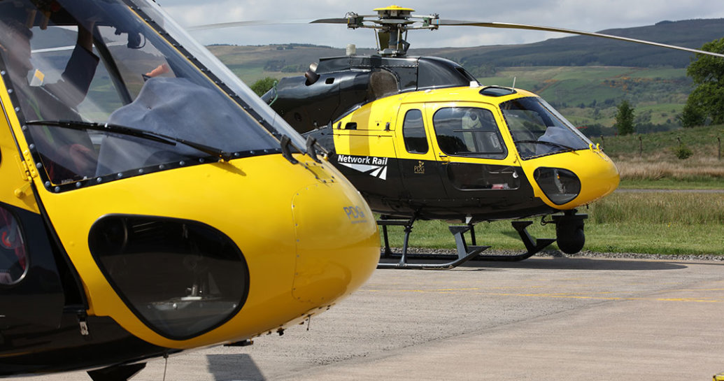
Our air operations team – launched a decade ago – is a vital function that maximises our ability to efficiently and safely manage the infrastructure.
Aerial images taken from our helicopter are available to all Network Rail staff to access from their desks. This keep boots off ballast, which drives efficiencies and smarter working.
Our teams across the business use the images for anything from essential maintenance of overhead line equipment to vegetation management and earthworks.
Examples of this include a photographic survey of Scotland’s railway last year. The air ops team used a laser scan along each railway line to provide an accurate map of all the conditions on and adjacent to the infrastructure. Network Rail would use the data across to prevent issues before they arise and ultimately reducing the chances of delays to train services.
Our mantra is fly it once and use many times.
Chris Ashworth, a national aerial survey specialist at Network Rail
This year the team’s projects include a hyperspectral sensor project with the air operations aerial specialist surveyors and Network Rail helicopter. Hyperspectral sensors detect light waves and tell us about the properties of plant species and other live organisms.
Find out more about how we look after the railway